![Trail Walking Rio Preto da Eva - Malaxassent 7 - Photo](https://media.geolcdn.com/t/1900/400/d148d4a3-910e-4abb-8de9-2c4caa7afa70.jpg&format=pjpeg&maxdim=2)
Malaxassent 7
DECHAMPD
User
![Length](/images/other/stat-length.png)
Length
7.4 km
![Max alt](https://static1.geolcdn.com/siteimages/upload/files/1508320355ic_sort_altitude_max_24dp.png)
Max alt
65 m
![Uphill gradient](https://static1.geolcdn.com/siteimages/upload/files/1508320355ic_sort_den_pos_24dp.png)
Uphill gradient
114 m
![Km-Effort](/images/other/stat-length.png)
Km-Effort
9 km
![Min alt](https://static1.geolcdn.com/siteimages/upload/files/1508320355ic_sort_altitude_min_24dp.png)
Min alt
6 m
![Downhill gradient](https://static1.geolcdn.com/siteimages/upload/files/1508320355ic_sort_den_neg_24dp.png)
Downhill gradient
122 m
![Boucle](https://static1.geolcdn.com/siteimages/upload/files/16400158638029165_repeat_loop_refresh_sync_direction_icon.png)
Boucle
Yes
Creation date :
2023-12-18 12:51:12.0
Updated on :
2023-12-20 11:19:18.59
![Walking](https://static1.geolcdn.com/sitytour/trail-icons/101.png)
11h54
Difficulty : Very easy
![Scan this QR Code to open this trail in the SityTrail application](https://capi.geolives.com/qq0zvz2zws4bq2lad0pu/sitytour/trails/3898017/qr.png?size=200)
FREE GPS app for hiking
About
Trail Walking of 7.4 km to be discovered at Amazonas, Unknown, Rio Preto da Eva. This trail is proposed by DECHAMPD.
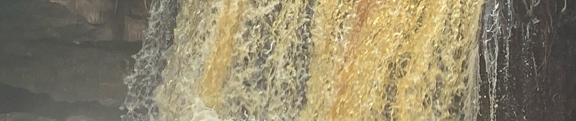
Positioning
Country:
Brazil
Region :
Amazonas
Department/Province :
Unknown
Municipality :
Rio Preto da Eva
Location:
Rio Preto da Eva
Start:(Dec)
Start:(UTM)
216008 ; 9681169 (21M) S.
Comments
Trails nearby